Explore our elevated gravel bundles - for a limited time only.

Life in Death Valley

Riding amongst mountains, meadows, river beds and wildflowers in Eastern California.


Words by: Maude Farrell, Photos: Gavin Murray


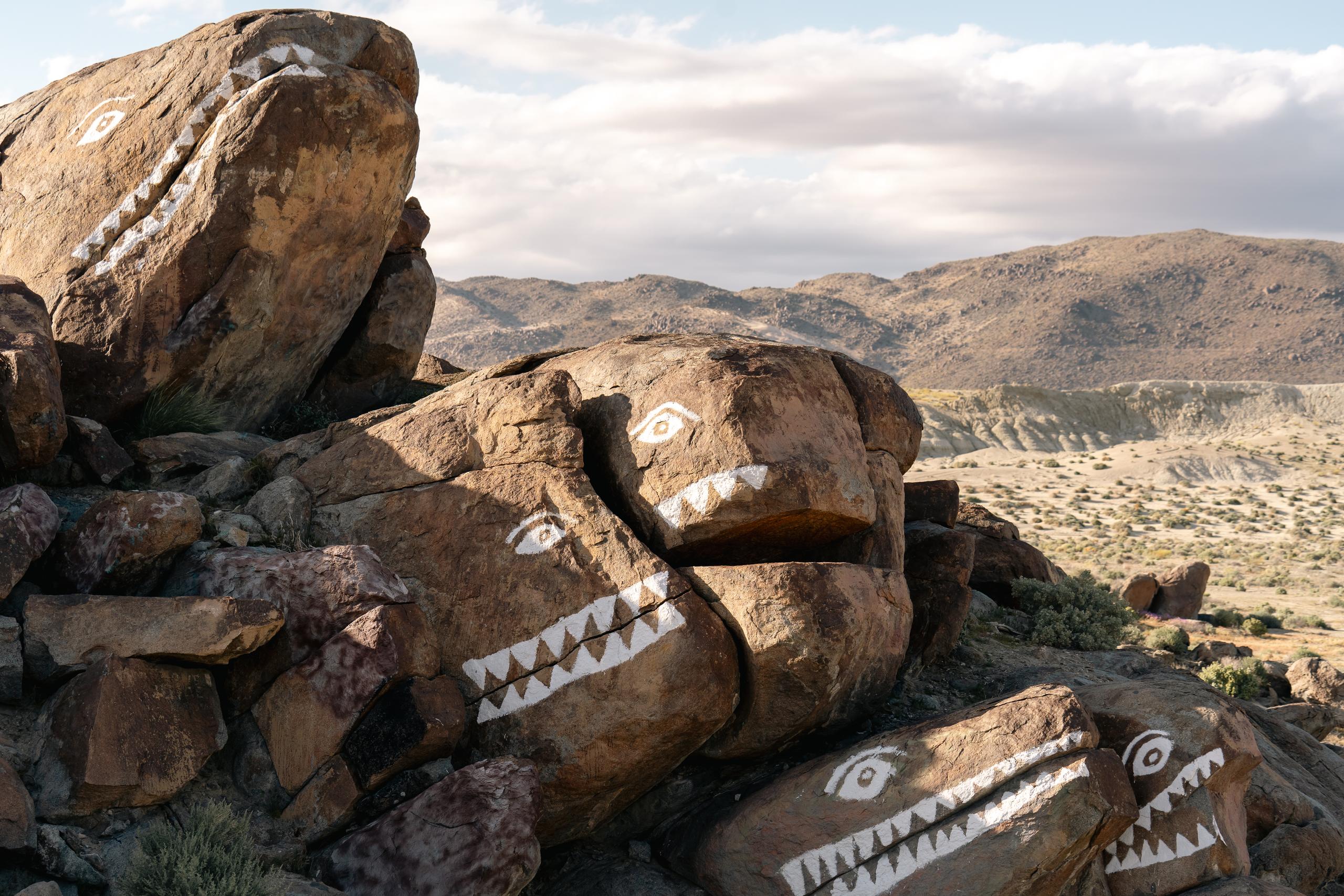
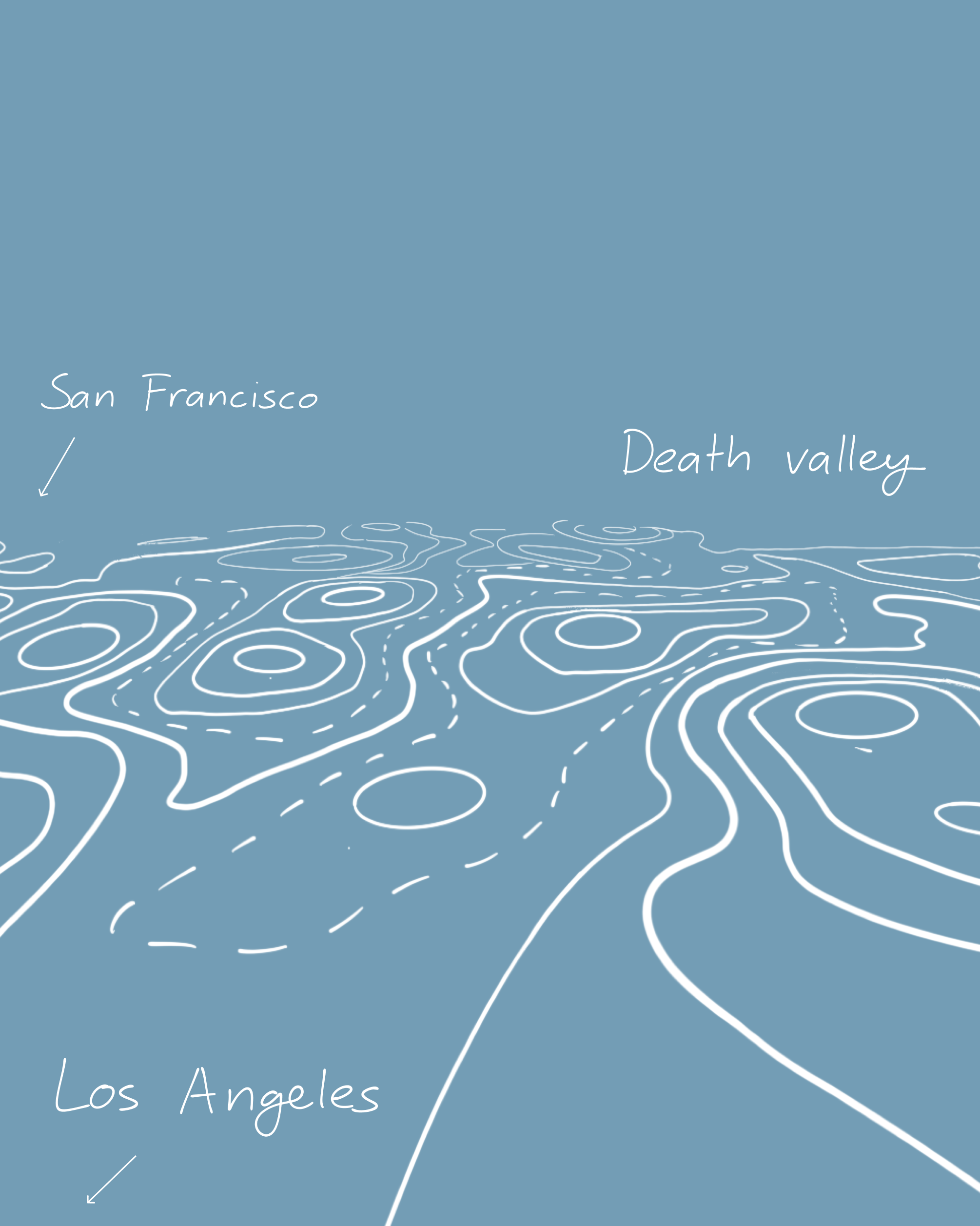
The name “Death Valley” is a bit of a misnomer. The area has been home to the Timbisha tribe of Native Americans, formerly known as the Panamint Shoshone, for at least the past millennium. The tribe’s name for the valley is tümpisa, meaning "rock paint" and refers to red ocher coloured paint that can be made from a type of clay found in the valley. It’s more fitting and accurate than the colonialist name, which was bestowed when a group of gold rush pioneers passing through the valley perished.

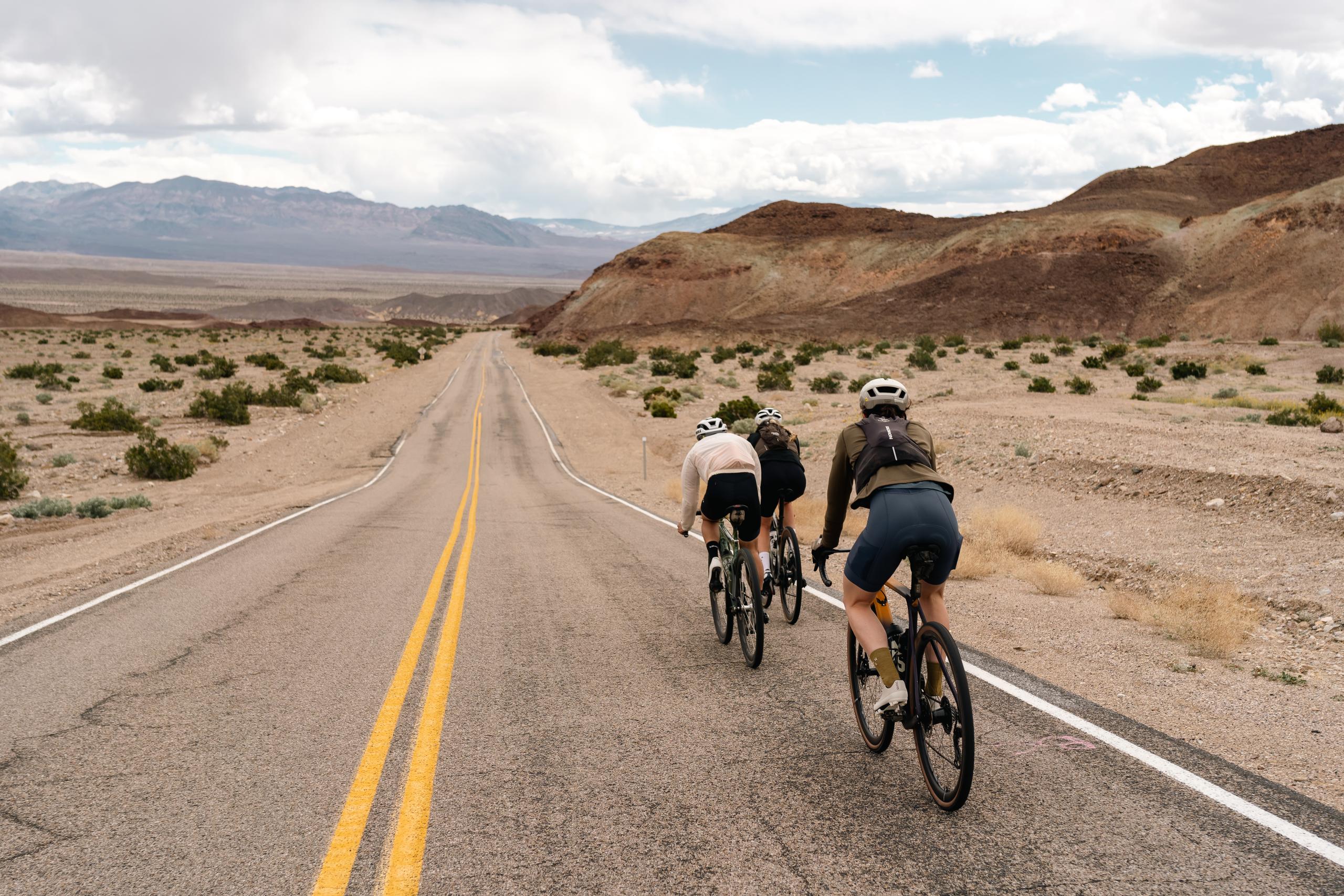
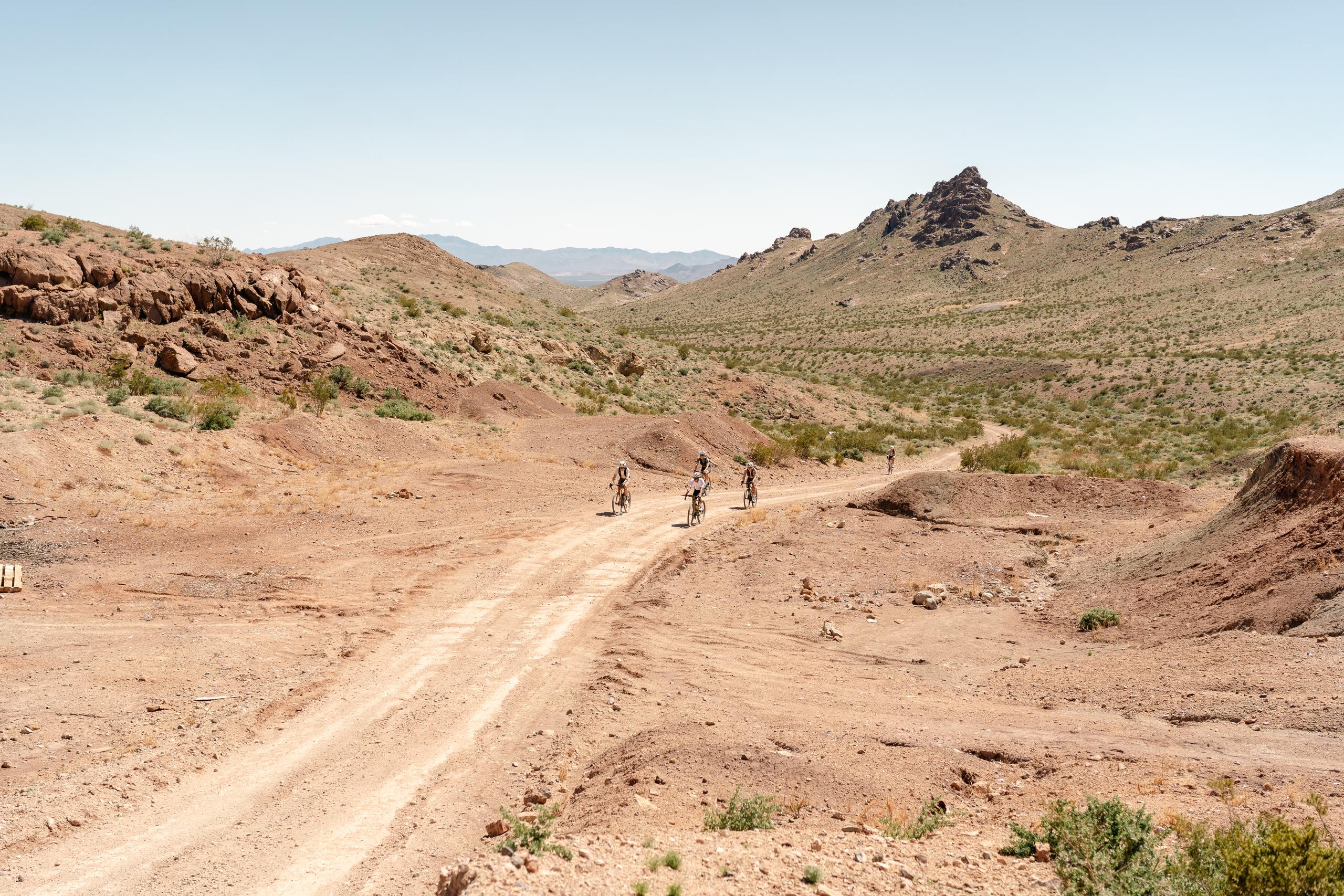
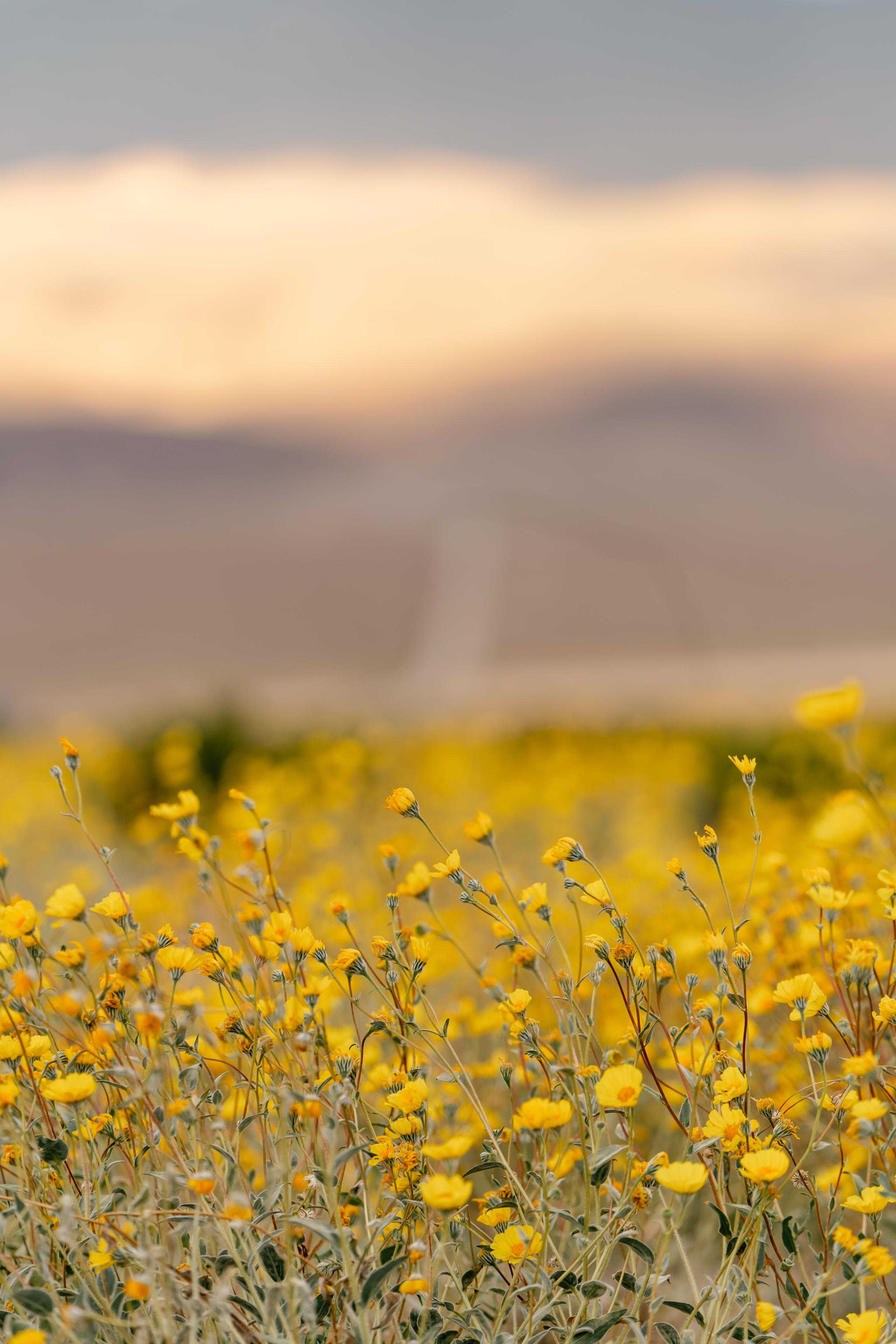
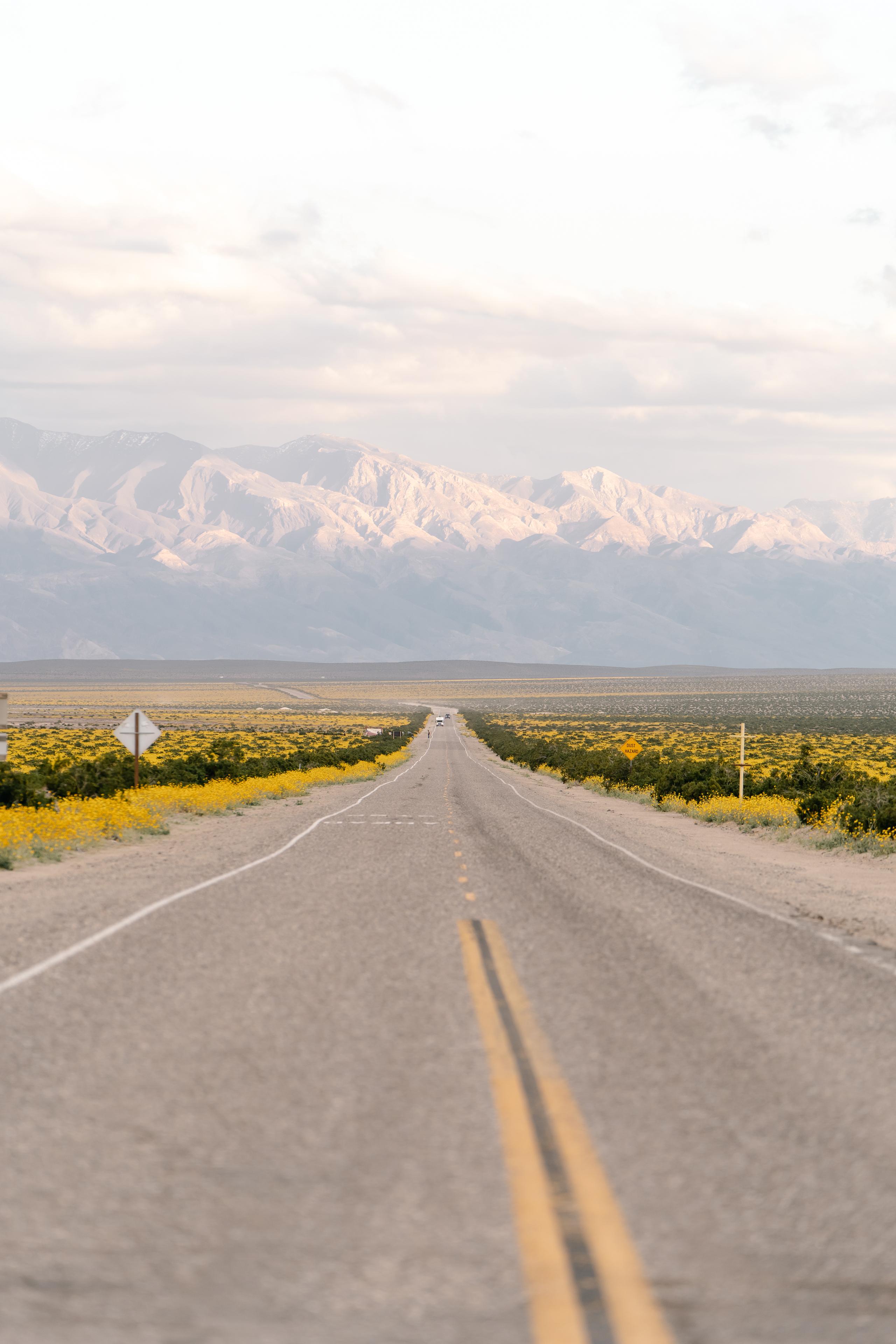
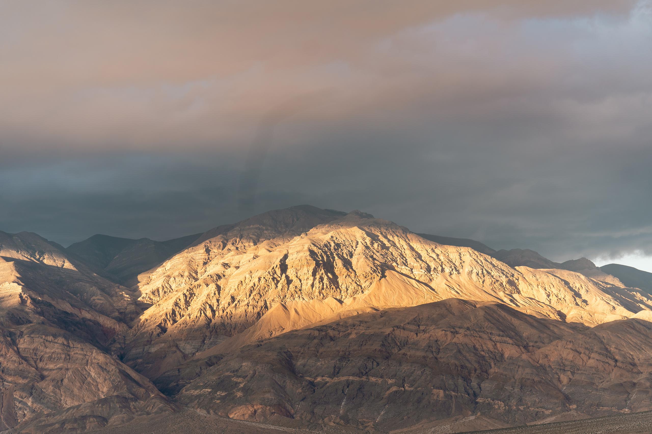
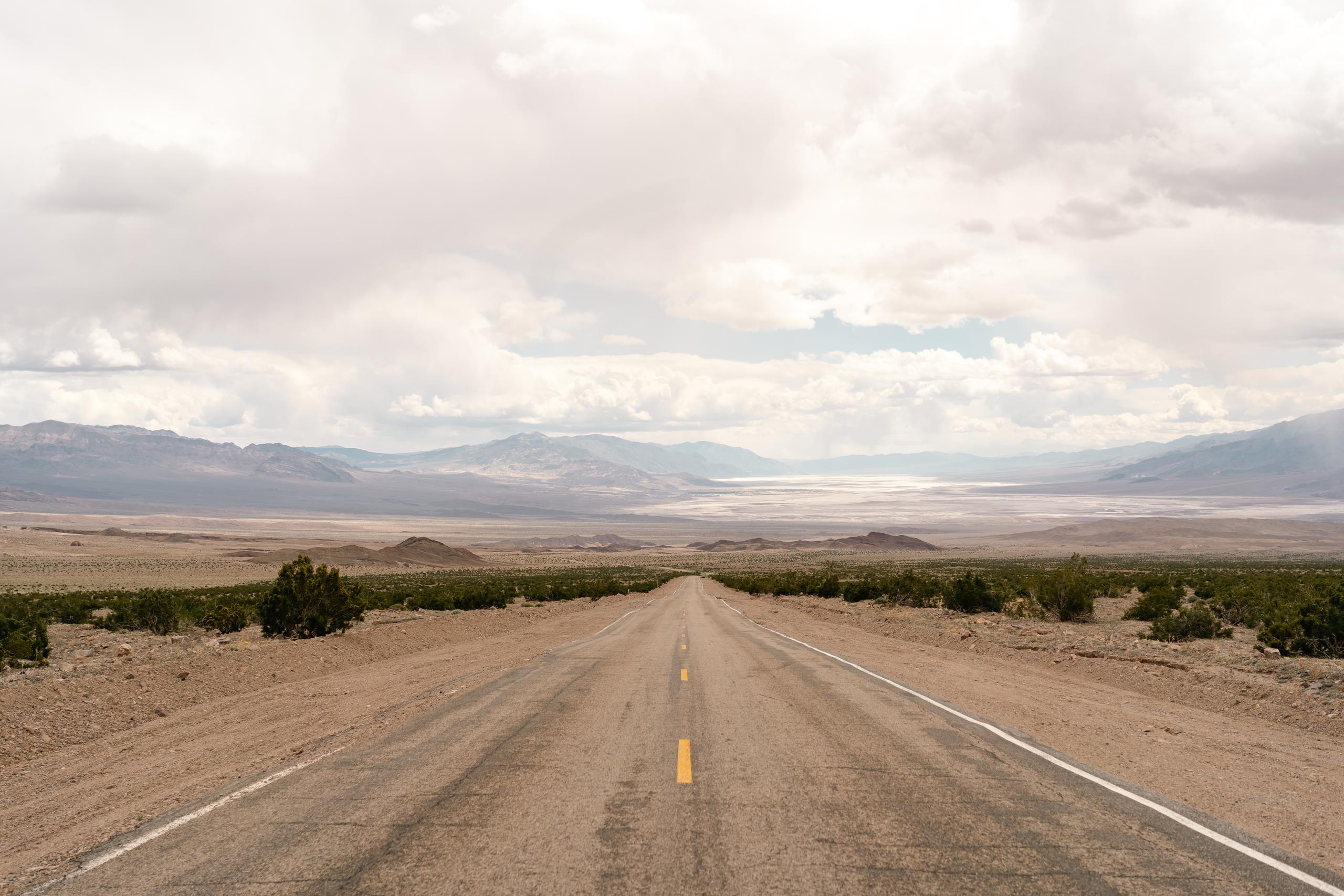
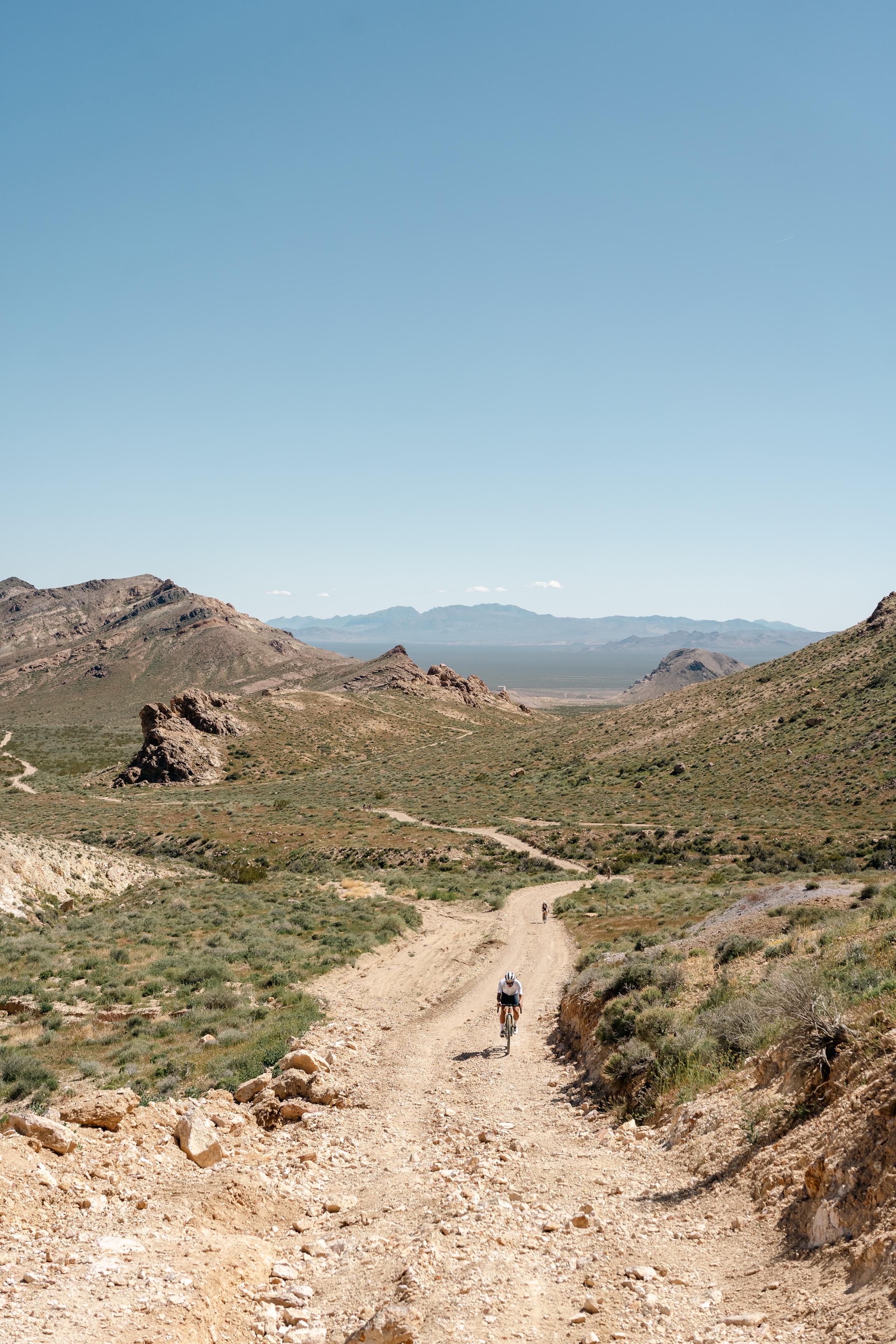
The area is also more expansive than simply a small valley barren of life, as the name implies. The landscape evokes more life than death - a fractal of mountains, meadows, river beds, wildflowers, bighorn sheep, and countless types of lizards. In the spring wildflowers burst for as far as the eye can see across enormous meadows that slant upwards into the base of jagged, sharp, snow capped peaks.

Anywhere else these would be serious, standalone mountain ranges but in the context of the broader basin the peaks are categorically unimpressive in the shadow of the southern Sierras, home to the tallest peak in the contiguous United States. All these geological features - the lowest lying and highest point - are within an 100 mile radius of one another. The human eye can barely comprehend it all.


Beginning of the adventure to nowhere

It was the perfect place to adventure to nowhere (or once upon a time “somewheres”) on bikes. We based ourselves out of Beatty, Nevada - a town with a population of 596, nestled on the outskirts of Death Valley National Park. The sleepy town sits amongst a graveyard of other ghost towns, with no grocery store, and a lone BBQ roadhouse and burrito food truck.


The edge of the park

Day 1’s route took us on pin straight road for 20 miles out to the edge of the park. The weather was cool and we could see deep grey skies darkening in the distance. Eager to explore the off road terrain, we stayed on the route and descended paved road for almost 40 minutes, pedaling into a strong headwind. Ahead of us lay the white, wide, salt pan of Badwater Basin, the low point of the valley and continental US.


We were optimistic the route back over the mountains was rideable, but when we realized it was a 30% pitch hiking trail for 5 miles, we flipped it to ride back up the road.

We were thankful for the tailwind on the 14 mile climb, but the ominous skies let loose snow and mist. It was mind boggling to think how the basin can experience extreme flooding, springtime snow showers, and also hit the hottest temperatures on earth (upwards of 130 degrees fahrenheit) in the span of only 4 months.

The remnants of town life crumbling around us

Our route for day 2 was an established bike packing loop that traversed the northeast corner of the park. After an early flat in the day, we encountered a national park sign that the route was closed, impassable and dangerous. We knew our routes might require audibles, but we didn’t expect to have to change course so early on.

We decided to play it safe and route ourselves back into the foothills and roads north of town. We rode into Rhyolite, a ghost town that contained strange, mixed art installations. The relics of mineral mining in the late 19th century still felt fresh and recent, the remnants of town life crumbling around us - the foundation of a bank, the old brick walls of the sheriff’s office, an uninhabited house made of glass bottles, the dry rotted shack of the local saloon.

The terrain in this area is unforgivingly rough, with sharp rocks covered by loose and gravelly sand. The biggest climb of day 2 hit pitches of 20% and had been eroded by winter rain storms. Most of us were forced to dismount and walk, giving us the chance to look more closely at the minerals embedded in the rocks at our feet.

Desert rainbow

The magic of this area is that the macro landscape is undoubtedly breathtaking and massive, but the details of even the smallest rocks with intrusions of mineralized crystals are awe inspiring. Once your eyes adjust, you start to realize the desert is a rainbow of colors rich in hues of pink, orange, green, blue, and yellow.

Four flats later, we made it to the highway for a long drag back to town. In pursuit of adventure, we naively chose to take a parallel route to the road, hoping to “enjoy” more dirt. Yes, it was dirt, but it was also a maintenance road for the power lines, with unrideable ascents and descents littered with football sized boulders and dry sandy stream beds.

“It really looks like maybe just one more”, we kept saying as we pushed our bikes up yet another steep pitch. “One more” happened four or five times. We certainly chose the path less traveled.


FAFO - f*** around, find out


By day 3, it felt like we had settled into a rhythm with this sleepy town. Oatmeal from a rice cooker in the Motel 6 hotel room for breakfast, gas station snacks for lunch, BBQ for dinner. Each day we prepared for a route we had no idea if it would be possible to accomplish. The network of roads in the area are largely used by off roaders and ATV enthusiasts. It’s hard not to wonder what crosses their mind when they see a group of cyclists so many miles from town. In one friendly encounter in a ghost town, an older gentleman told us about a network of mountain bike trails built by a local Beatty man. It’s special to discover that even such a far flung, remote, and sleepy town like Beatty there is a love of bikes. A favorite adventure saying is “FAFO - f*** around, find out”. Take a risk, point it, see what happens. You’ll probably discover something remarkable.


Analog Death Valley